
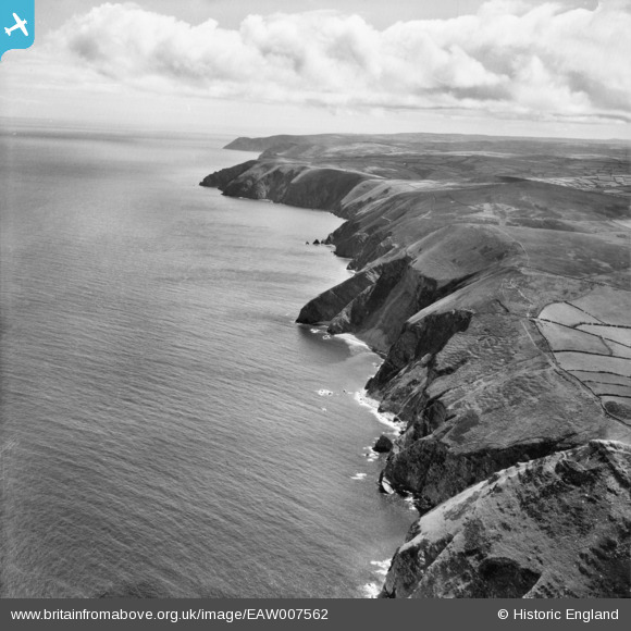
EAW007562 ENGLAND (1947). The North Devon coastline between Hangman Point and Elwill Bay, Combe Martin, from the west, 1947
© Copyright OpenStreetMap contributors and licensed by the OpenStreetMap Foundation. 2025. Cartography is licensed as CC BY-SA.
Details
| Title | [EAW007562] The North Devon coastline between Hangman Point and Elwill Bay, Combe Martin, from the west, 1947 |
| Reference | EAW007562 |
| Date | 25-June-1947 |
| Link | |
| Place name | COMBE MARTIN |
| Parish | COMBE MARTIN |
| District | |
| Country | ENGLAND |
| Easting / Northing | 259205, 148658 |
| Longitude / Latitude | -4.0162932869937, 51.21921942468 |
| National Grid Reference | SS592487 |
Pins
Be the first to add a comment to this image!