
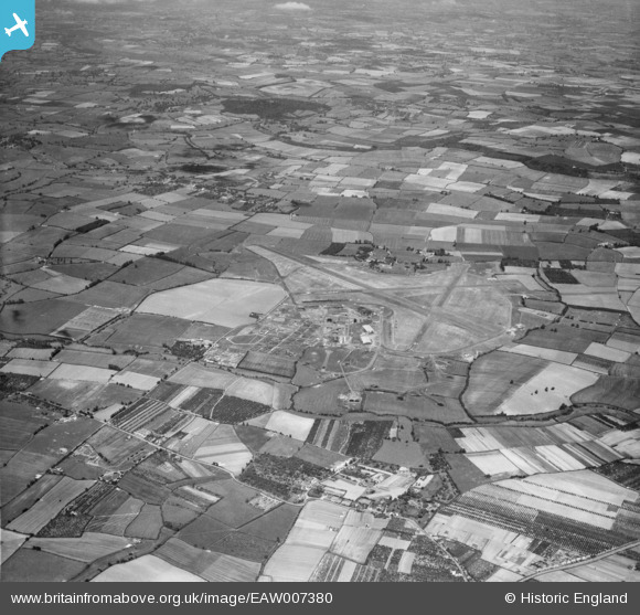
EAW007380 ENGLAND (1947). RAF Pershore and surrounding countryside, Throckmorton, 1947
© Copyright OpenStreetMap contributors and licensed by the OpenStreetMap Foundation. 2025. Cartography is licensed as CC BY-SA.
Details
| Title | [EAW007380] RAF Pershore and surrounding countryside, Throckmorton, 1947 |
| Reference | EAW007380 |
| Date | 12-June-1947 |
| Link | |
| Place name | THROCKMORTON |
| Parish | THROCKMORTON |
| District | |
| Country | ENGLAND |
| Easting / Northing | 397392, 249855 |
| Longitude / Latitude | -2.0381177686326, 52.146568790759 |
| National Grid Reference | SO974499 |
Pins
Be the first to add a comment to this image!