
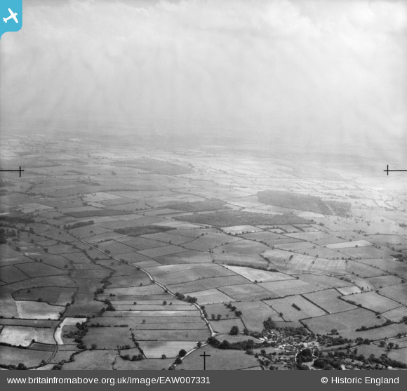
EAW007331 ENGLAND (1947). Countryside around Duke's Wood and Mather Wood, Maplebeck, from the north-west, 1947
© Copyright OpenStreetMap contributors and licensed by the OpenStreetMap Foundation. 2025. Cartography is licensed as CC BY-SA.
Details
| Title | [EAW007331] Countryside around Duke's Wood and Mather Wood, Maplebeck, from the north-west, 1947 |
| Reference | EAW007331 |
| Date | 24-June-1947 |
| Link | |
| Place name | MAPLEBECK |
| Parish | MAPLEBECK |
| District | |
| Country | ENGLAND |
| Easting / Northing | 472013, 359995 |
| Longitude / Latitude | -0.92354106753914, 53.131951861533 |
| National Grid Reference | SK720600 |
Pins
Be the first to add a comment to this image!