
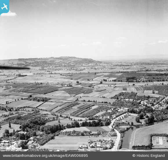
EAW006895 ENGLAND (1947). Church Street and the Vale of Evesham, Evesham, from the east, 1947
© Copyright OpenStreetMap contributors and licensed by the OpenStreetMap Foundation. 2026. Cartography is licensed as CC BY-SA.
Details
| Title | [EAW006895] Church Street and the Vale of Evesham, Evesham, from the east, 1947 |
| Reference | EAW006895 |
| Date | 10-June-1947 |
| Link | |
| Place name | EVESHAM |
| Parish | EVESHAM |
| District | |
| Country | ENGLAND |
| Easting / Northing | 402709, 242809 |
| Longitude / Latitude | -1.9604621324059, 52.083213754305 |
| National Grid Reference | SP027428 |
Pins

DRS |
Wednesday 1st of July 2020 10:43:04 AM | |
|
DRS |
Wednesday 1st of July 2020 10:39:38 AM | |
|
DRS |
Wednesday 1st of July 2020 10:37:48 AM | |
|
ayshum1 |
Tuesday 16th of September 2014 09:23:28 PM | |
|
TomRobin |
Wednesday 26th of February 2014 12:45:57 AM | |
|
TomRobin |
Wednesday 26th of February 2014 12:40:53 AM | |
|
TomRobin |
Wednesday 26th of February 2014 12:40:22 AM |