
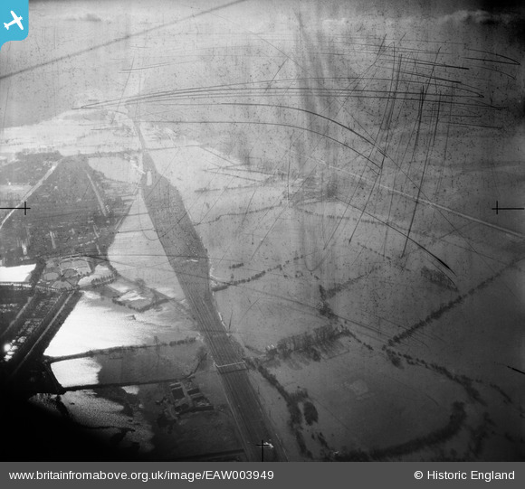
EAW003949 ENGLAND (1947). Flooding around the railway line between New and South Hinksey, New Hinksey, from the north, 1947. This image has been produced from a damaged negative.
© Copyright OpenStreetMap contributors and licensed by the OpenStreetMap Foundation. 2026. Cartography is licensed as CC BY-SA.
Details
| Title | [EAW003949] Flooding around the railway line between New and South Hinksey, New Hinksey, from the north, 1947. This image has been produced from a damaged negative. |
| Reference | EAW003949 |
| Date | 20-March-1947 |
| Link | |
| Place name | NEW HINKSEY |
| Parish | |
| District | |
| Country | ENGLAND |
| Easting / Northing | 450974, 204999 |
| Longitude / Latitude | -1.2616644911145, 51.740918583628 |
| National Grid Reference | SP510050 |
Pins
Be the first to add a comment to this image!