
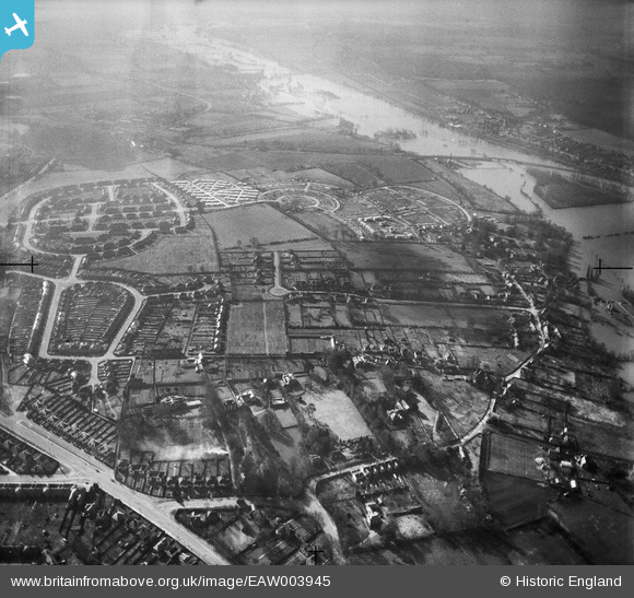
EAW003945 ENGLAND (1947). Rose Hill housing development and environs, Rose Hill, 1947
© Copyright OpenStreetMap contributors and licensed by the OpenStreetMap Foundation. 2025. Cartography is licensed as CC BY-SA.
Details
| Title | [EAW003945] Rose Hill housing development and environs, Rose Hill, 1947 |
| Reference | EAW003945 |
| Date | 20-March-1947 |
| Link | |
| Place name | ROSE HILL |
| Parish | |
| District | |
| Country | ENGLAND |
| Easting / Northing | 453089, 203633 |
| Longitude / Latitude | -1.2312410105962, 51.728439991922 |
| National Grid Reference | SP531036 |
Pins
Be the first to add a comment to this image!