
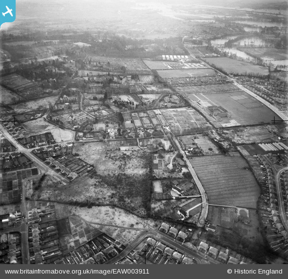
EAW003911 ENGLAND (1947). Jack Straw's Lane and environs, Headington Hill, 1947
© Copyright OpenStreetMap contributors and licensed by the OpenStreetMap Foundation. 2025. Cartography is licensed as CC BY-SA.
Details
| Title | [EAW003911] Jack Straw's Lane and environs, Headington Hill, 1947 |
| Reference | EAW003911 |
| Date | 20-March-1947 |
| Link | |
| Place name | HEADINGTON HILL |
| Parish | |
| District | |
| Country | ENGLAND |
| Easting / Northing | 453289, 207422 |
| Longitude / Latitude | -1.2277644965396, 51.762489099016 |
| National Grid Reference | SP533074 |
Pins

PJ |
Wednesday 13th of April 2022 07:03:00 PM | |
|
Sarah Jessop |
Tuesday 26th of January 2016 01:12:26 PM | |
|
Sarah Jessop |
Tuesday 26th of January 2016 01:11:33 PM |