
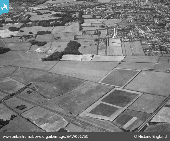
EAW001755 ENGLAND (1946). Countryside between Moreton and Bidston, Moreton, 1946. This image has been produced from a print.
© Copyright OpenStreetMap contributors and licensed by the OpenStreetMap Foundation. 2026. Cartography is licensed as CC BY-SA.
Details
| Title | [EAW001755] Countryside between Moreton and Bidston, Moreton, 1946. This image has been produced from a print. |
| Reference | EAW001755 |
| Date | 11-July-1946 |
| Link | |
| Place name | MORETON |
| Parish | |
| District | |
| Country | ENGLAND |
| Easting / Northing | 327455, 389763 |
| Longitude / Latitude | -3.0912009182924, 53.399440269492 |
| National Grid Reference | SJ275898 |
Pins

Matt Aldred edob.mattaldred.com |
Sunday 28th of February 2021 06:15:23 PM | |

Sparky |
Saturday 19th of August 2017 12:33:00 AM | |
|
Sparky |
Saturday 19th of August 2017 12:32:59 AM | |

Rob |
Tuesday 1st of September 2015 03:20:28 PM |