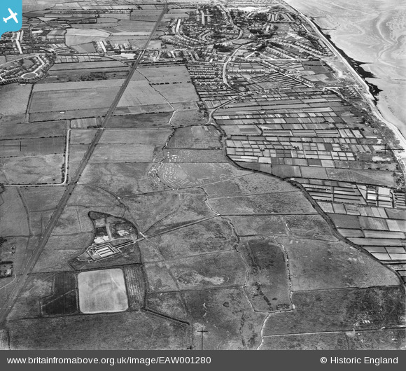
EAW001280 ENGLAND (1946). Allotments at Parkfields and the Wallasey Corporation Sewage Works, Hoylake, 1946
© Copyright OpenStreetMap contributors and licensed by the OpenStreetMap Foundation. 2026. Cartography is licensed as CC BY-SA.
Details
| Title | [EAW001280] Allotments at Parkfields and the Wallasey Corporation Sewage Works, Hoylake, 1946 |
| Reference | EAW001280 |
| Date | 24-June-1946 |
| Link | |
| Place name | HOYLAKE |
| Parish | |
| District | |
| Country | ENGLAND |
| Easting / Northing | 324240, 390476 |
| Longitude / Latitude | -3.1397210083437, 53.405396938298 |
| National Grid Reference | SJ242905 |
Pins

Meols Guy |
Wednesday 28th of July 2021 12:03:48 PM | |

Meols Guy |
Wednesday 28th of July 2021 12:02:57 PM | |

Meols Guy |
Wednesday 28th of July 2021 12:02:10 PM | |

redmist |
Tuesday 8th of October 2019 08:12:03 AM | |

redmist |
Monday 7th of October 2019 11:08:37 PM | |

Sparky |
Friday 28th of July 2017 09:41:27 PM | |

Dave Firth |
Wednesday 12th of April 2017 08:49:15 PM | |

PSYGMON7 |
Friday 15th of November 2013 07:46:44 PM | |

PSYGMON7 |
Friday 15th of November 2013 07:45:27 PM |

