
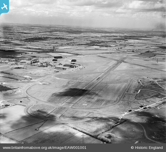
EAW001001 ENGLAND (1946). RAF Middleton St George Airfield, Middleton St George, from the south-west, 1946
© Copyright OpenStreetMap contributors and licensed by the OpenStreetMap Foundation. 2026. Cartography is licensed as CC BY-SA.
Details
| Title | [EAW001001] RAF Middleton St George Airfield, Middleton St George, from the south-west, 1946 |
| Reference | EAW001001 |
| Date | 6-June-1946 |
| Link | |
| Place name | MIDDLETON ST GEORGE |
| Parish | MIDDLETON ST. GEORGE |
| District | |
| Country | ENGLAND |
| Easting / Northing | 436976, 512119 |
| Longitude / Latitude | -1.4289449799501, 54.502908761652 |
| National Grid Reference | NZ370121 |
