
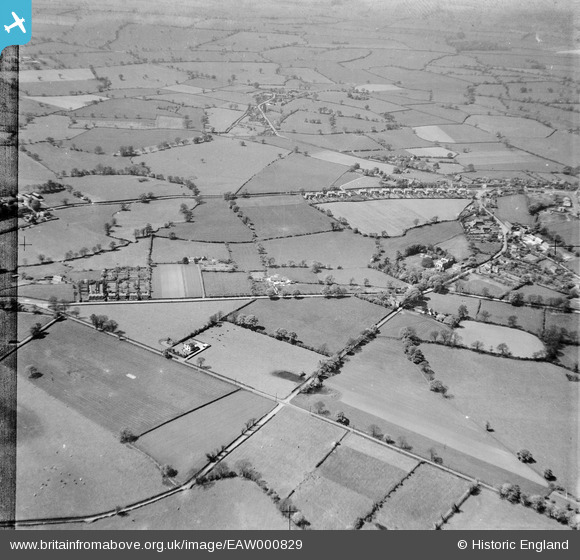
EAW000829 ENGLAND (1946). Brook Road, Nantwich Road and environs, Rhuddall Heath, from the east, 1946
© Copyright OpenStreetMap contributors and licensed by the OpenStreetMap Foundation. 2025. Cartography is licensed as CC BY-SA.
Details
| Title | [EAW000829] Brook Road, Nantwich Road and environs, Rhuddall Heath, from the east, 1946 |
| Reference | EAW000829 |
| Date | 12-May-1946 |
| Link | |
| Place name | RHYDDALL HEATH |
| Parish | TARPORLEY |
| District | |
| Country | ENGLAND |
| Easting / Northing | 356092, 361772 |
| Longitude / Latitude | -2.6566254238322, 53.150982688248 |
| National Grid Reference | SJ561618 |
Pins
Be the first to add a comment to this image!