
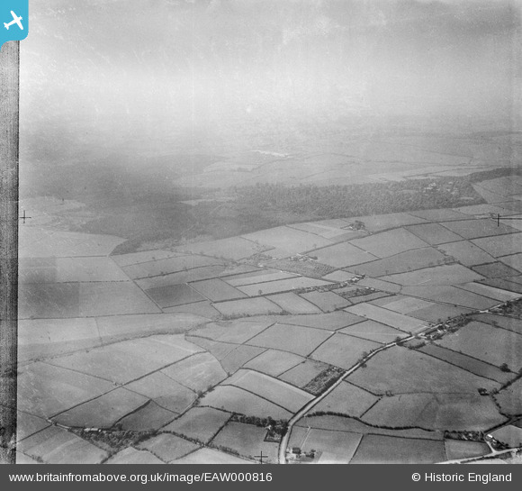
EAW000816 ENGLAND (1946). Fields and woodland around Waterloo, Kingsley, from the north-east, 1946
© Copyright OpenStreetMap contributors and licensed by the OpenStreetMap Foundation. 2026. Cartography is licensed as CC BY-SA.
Details
| Title | [EAW000816] Fields and woodland around Waterloo, Kingsley, from the north-east, 1946 |
| Reference | EAW000816 |
| Date | 12-May-1946 |
| Link | |
| Place name | KINGSLEY |
| Parish | KINGSLEY |
| District | |
| Country | ENGLAND |
| Easting / Northing | 353916, 373572 |
| Longitude / Latitude | -2.6908678745337, 53.256872073519 |
| National Grid Reference | SJ539736 |
Pins
Be the first to add a comment to this image!