
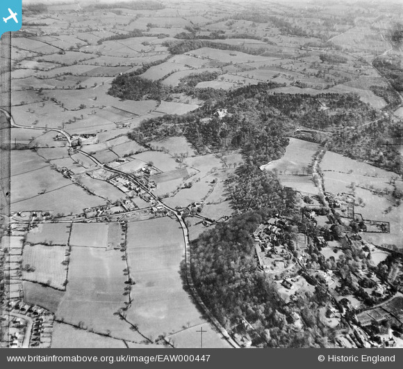
EAW000447 ENGLAND (1946). Mottram Road, Alderley Edge and surrounding countryside, Alderley Edge, 1946
© Copyright OpenStreetMap contributors and licensed by the OpenStreetMap Foundation. 2026. Cartography is licensed as CC BY-SA.
Details
| Title | [EAW000447] Mottram Road, Alderley Edge and surrounding countryside, Alderley Edge, 1946 |
| Reference | EAW000447 |
| Date | 18-April-1946 |
| Link | |
| Place name | ALDERLEY EDGE |
| Parish | ALDERLEY EDGE |
| District | |
| Country | ENGLAND |
| Easting / Northing | 385749, 378085 |
| Longitude / Latitude | -2.2138538518954, 53.299252854 |
| National Grid Reference | SJ857781 |
Pins
Be the first to add a comment to this image!