
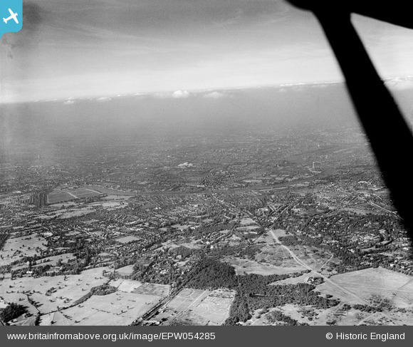
EPW054285 ENGLAND (1937). An infrared photograph over Putney Heath towards the River Thames, Putney, from the south-west, 1937
© Hawlfraint cyfranwyr OpenStreetMap a thrwyddedwyd gan yr OpenStreetMap Foundation. 2024. Trwyddedir y gartograffeg fel CC BY-SA.
Manylion
| Pennawd | [EPW054285] An infrared photograph over Putney Heath towards the River Thames, Putney, from the south-west, 1937 |
| Cyfeirnod | EPW054285 |
| Dyddiad | 13-July-1937 |
| Dolen | |
| Enw lle | PUTNEY |
| Plwyf | |
| Ardal | |
| Gwlad | ENGLAND |
| Dwyreiniad / Gogleddiad | 522411, 173005 |
| Hydred / Lledred | -0.23846887157567, 51.442301998932 |
| Cyfeirnod Grid Cenedlaethol | TQ224730 |
Pinnau
 Dom |
Tuesday 31st of March 2020 12:08:11 PM | |
Dom |
Tuesday 31st of March 2020 12:05:58 PM | |
Dom |
Tuesday 31st of March 2020 11:57:23 AM | |
Dom |
Tuesday 31st of March 2020 11:49:02 AM | |
Dom |
Tuesday 31st of March 2020 11:46:00 AM | |
Dom |
Tuesday 31st of March 2020 11:45:13 AM | |
Dom |
Tuesday 31st of March 2020 11:41:15 AM |


