
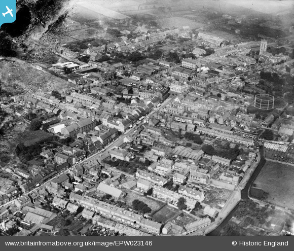
EPW023146 ENGLAND (1928). The town centre, Driffield, 1928
© Hawlfraint cyfranwyr OpenStreetMap a thrwyddedwyd gan yr OpenStreetMap Foundation. 2024. Trwyddedir y gartograffeg fel CC BY-SA.
Delweddau cyfagos (5)
EPW023146

EPW012895

EPW023147

EPW012898

EPW023144

Manylion
| Pennawd | [EPW023146] The town centre, Driffield, 1928 |
| Cyfeirnod | EPW023146 |
| Dyddiad | August-1928 |
| Dolen | |
| Enw lle | DRIFFIELD |
| Plwyf | DRIFFIELD |
| Ardal | |
| Gwlad | ENGLAND |
| Dwyreiniad / Gogleddiad | 502431, 457670 |
| Hydred / Lledred | -0.43696360255468, 54.004690165802 |
| Cyfeirnod Grid Cenedlaethol | TA024577 |
Pinnau
 revd_rob |
Saturday 26th of July 2014 11:28:55 AM | |
revd_rob |
Saturday 26th of July 2014 11:25:33 AM | |
phloberts |
Friday 7th of March 2014 08:19:53 PM | |
revd_rob |
Thursday 13th of December 2012 04:31:20 PM | |
revd_rob |
Thursday 13th of December 2012 04:29:23 PM |


