
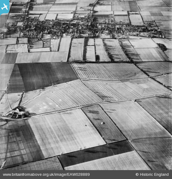
EAW028889 ENGLAND (1950). The town of Winterton and North Street, Roxby, 1950
© Hawlfraint cyfranwyr OpenStreetMap a thrwyddedwyd gan yr OpenStreetMap Foundation. 2024. Trwyddedir y gartograffeg fel CC BY-SA.
Delweddau cyfagos (3)
EAW028889

EAW028888

EAW028978

Manylion
| Pennawd | [EAW028889] The town of Winterton and North Street, Roxby, 1950 |
| Cyfeirnod | EAW028889 |
| Dyddiad | 5-May-1950 |
| Dolen | |
| Enw lle | ROXBY |
| Plwyf | ROXBY CUM RISBY |
| Ardal | |
| Gwlad | ENGLAND |
| Dwyreiniad / Gogleddiad | 493100, 417565 |
| Hydred / Lledred | -0.59144190340527, 53.646064199492 |
| Cyfeirnod Grid Cenedlaethol | SE931176 |
Pinnau
 Sue |
Saturday 28th of March 2020 11:05:40 AM | |
Sue |
Saturday 28th of March 2020 11:04:40 AM | |
Sue |
Saturday 28th of March 2020 11:03:15 AM | |
totoro |
Sunday 16th of March 2014 09:13:39 PM | |
totoro |
Sunday 16th of March 2014 09:13:23 PM | |
totoro |
Sunday 16th of March 2014 09:12:50 PM | |
totoro |
Sunday 16th of March 2014 09:11:23 PM | |
totoro |
Sunday 16th of March 2014 09:11:04 PM | |
totoro |
Sunday 16th of March 2014 09:10:24 PM | |
totoro |
Sunday 16th of March 2014 09:09:37 PM |


