
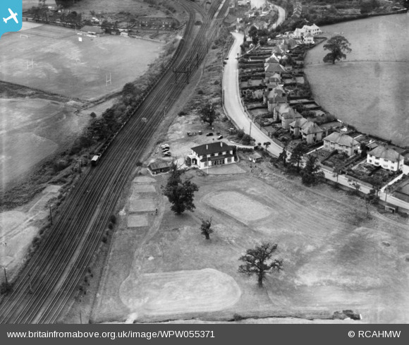
WPW055371 WALES. View of Tredegar Park golf club, oblique aerial view. 5"x4" black and white glass plate negative.
© Copyright OpenStreetMap contributors and licensed by the OpenStreetMap Foundation. 2024. Cartography is licensed as CC BY-SA.
Nearby Images (4)
WPW055366

WPW055367

WPW055370

WPW055371

Details
| Title | [WPW055371] View of Tredegar Park golf club, oblique aerial view. 5"x4" black and white glass plate negative. |
| Reference | WPW055371 |
| Date | |
| Link | Coflein Archive Item 6378054 |
| Place name | |
| Parish | |
| District | |
| Country | WALES |
| Easting / Northing | 327000, 188000 |
| Longitude / Latitude | -3.0537709230986, 51.585648257165 |
| National Grid Reference | ST270880 |


