
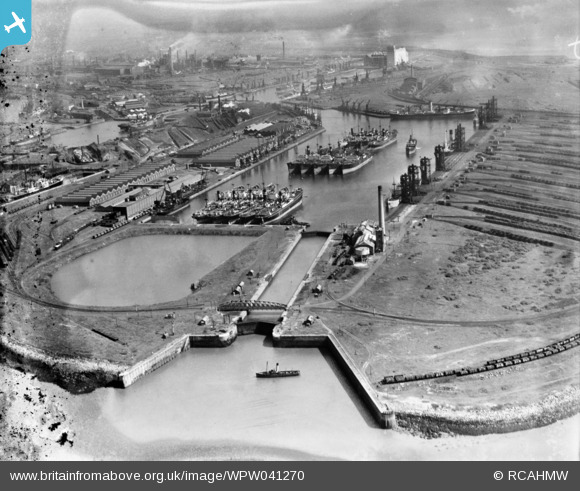
WPW041270 WALES (1933). View of Cardiff Docks, oblique aerial view. 5"x4" black and white glass plate negative.
© Copyright OpenStreetMap contributors and licensed by the OpenStreetMap Foundation. 2024. Cartography is licensed as CC BY-SA.
Nearby Images (29)
WAW005380

WAW005381

WAW005382

WAW007810

WAW007811

WAW007813

WAW007815

WAW007818

WAW007823

WAW007825

WAW007827

WAW033669

WAW033672

WAW033676

WPW006077

WPW006078

WPW006079

WPW006080

WPW029420

WPW029431

WPW029432

WPW041270

WPW041271

WPW041272

WPW041273

WPW052630

WPW054860

WPW054866

WPW054867

Details
| Title | [WPW041270] View of Cardiff Docks, oblique aerial view. 5"x4" black and white glass plate negative. |
| Reference | WPW041270 |
| Date | 1933 |
| Link | Coflein Archive Item 6369759 |
| Place name | |
| Parish | |
| District | |
| Country | WALES |
| Easting / Northing | 319000, 174000 |
| Longitude / Latitude | -3.1660087748727, 51.458686385872 |
| National Grid Reference | ST190740 |
Pins
 sloyne |
Sunday 1st of October 2017 11:12:08 AM | |
niecieden |
Friday 28th of April 2017 01:29:03 AM | |
 Class31 |
Tuesday 29th of July 2014 09:50:22 AM | |
hjr |
Wednesday 8th of January 2014 12:24:44 AM | |
hjr |
Wednesday 8th of January 2014 12:24:17 AM | |
hjr |
Wednesday 8th of January 2014 12:23:32 AM | |
hjr |
Wednesday 8th of January 2014 12:22:56 AM | |
hjr |
Wednesday 8th of January 2014 12:22:22 AM | |
hjr |
Wednesday 8th of January 2014 12:21:46 AM | |
hjr |
Wednesday 8th of January 2014 12:20:45 AM | |
hjr |
Wednesday 8th of January 2014 12:20:13 AM |


