
WPW039969 WALES (1932). General view of Abergavenny, oblique aerial view. 5"x4" black and white glass plate negative.

© Copyright OpenStreetMap contributors and licensed by the OpenStreetMap Foundation. 2024. Cartography is licensed as CC BY-SA.
Nearby Images (30)
WAW000674

WAW000675

WAW000676

WAW000677

WAW000678

WAW000679

WAW000680

WAW000681

WAW026200

WAW026201

WAW026202

WAW026203

WAW026204

WAW026205

WPW029891

WPW029892

WPW029893

WPW029897

WPW029898

WPW029899

WPW029900

WPW029901

WPW029909

WPW029950

WPW029976

WPW039965

WPW039966

WPW039967

WPW039968

WPW039969

Details
| Title | [WPW039969] General view of Abergavenny, oblique aerial view. 5"x4" black and white glass plate negative. |
| Reference | WPW039969 |
| Date | 1932 |
| Link | Coflein Archive Item 6370930 |
| Place name | |
| Parish | |
| District | |
| Country | WALES |
| Easting / Northing | 329833, 214333 |
| Longitude / Latitude | -3.0181841706239, 51.822762430277 |
| National Grid Reference | SO298143 |
Pins
 Class31 |
Monday 26th of August 2013 09:07:00 PM | |
Class31 |
Wednesday 4th of July 2012 09:39:41 AM | |
Class31 |
Wednesday 4th of July 2012 09:39:16 AM | |
Class31 |
Wednesday 4th of July 2012 09:38:33 AM | |
Class31 |
Wednesday 4th of July 2012 09:36:57 AM | |
Class31 |
Wednesday 4th of July 2012 09:36:23 AM | |
Class31 |
Wednesday 4th of July 2012 09:35:45 AM | |
Class31 |
Wednesday 4th of July 2012 09:35:09 AM |
User Comment Contributions
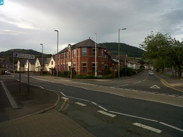
This is Abergavenny. The street pattern is right and several can be identified. |
Class31 |
Wednesday 4th of July 2012 09:43:40 AM |


