
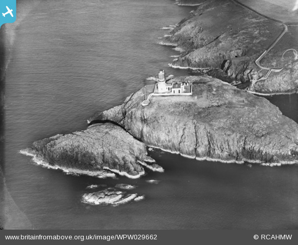
WPW029662 WALES (1929). View of Strumble Head and lighthouse, oblique aerial view. 5"x4" black and white glass plate negative.
© Copyright OpenStreetMap contributors and licensed by the OpenStreetMap Foundation. 2024. Cartography is licensed as CC BY-SA.
Nearby Images (2)
WPW029661

WPW029662

Details
| Title | [WPW029662] View of Strumble Head and lighthouse, oblique aerial view. 5"x4" black and white glass plate negative. |
| Reference | WPW029662 |
| Date | 1929 |
| Link | Coflein Archive Item 6370606 |
| Place name | |
| Parish | |
| District | |
| Country | WALES |
| Easting / Northing | 189238, 241282 |
| Longitude / Latitude | -5.0727364488353, 52.029413196725 |
| National Grid Reference | SM892413 |
Pins
Be the first to add a comment to this image!


