
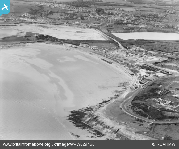
WPW029456 WALES (1929). General view of Barry, oblique aerial view. 5"x4" black and white glass plate negative.
© Copyright OpenStreetMap contributors and licensed by the OpenStreetMap Foundation. 2024. Cartography is licensed as CC BY-SA.
Nearby Images (15)
WPW006090

WPW006093

WPW006094

WPW006096

WPW008635

WPW024955A

WPW029392

WPW029399

WPW029400

WPW029456

WPW029458

WPW029459

WPW029461

WPW029462

WPW041252

Details
| Title | [WPW029456] General view of Barry, oblique aerial view. 5"x4" black and white glass plate negative. |
| Reference | WPW029456 |
| Date | 1929 |
| Link | Coflein Archive Item 6370563 |
| Place name | |
| Parish | |
| District | |
| Country | WALES |
| Easting / Northing | 311000, 166000 |
| Longitude / Latitude | -3.2791309458519, 51.385561791936 |
| National Grid Reference | ST110660 |
Pins
Be the first to add a comment to this image!


