
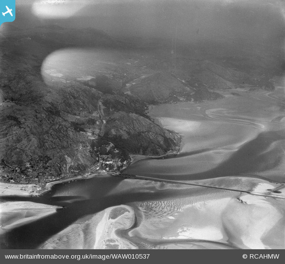
WAW010537 WALES (1947). View of Barmouth
© Copyright OpenStreetMap contributors and licensed by the OpenStreetMap Foundation. 2024. Cartography is licensed as CC BY-SA.
Nearby Images (4)
WAW010536

WAW010537

WAW031474

WAW031475

Details
| Title | [WAW010537] View of Barmouth |
| Reference | WAW010537 |
| Date | 30-August-1947 |
| Link | Coflein Archive Item 6413693 |
| Place name | |
| Parish | |
| District | |
| Country | WALES |
| Easting / Northing | 261000, 315000 |
| Longitude / Latitude | -4.0579799870361, 52.714438072186 |
| National Grid Reference | SH610150 |
Pins
 Ginger79 |
Thursday 25th of March 2021 05:17:58 PM |


