
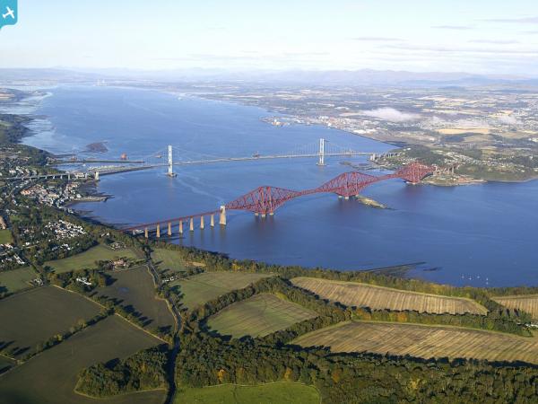
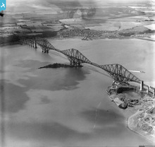
SPW054710 SCOTLAND (1937). Forth Rail Bridge and Inch Garvie, Firth of Forth. An oblique aerial photograph taken facing south-west.

© Copyright OpenStreetMap contributors and licensed by the OpenStreetMap Foundation. 2024. Cartography is licensed as CC BY-SA.
Nearby Images (15)
SAW010716

SPW054710

SPW054711

SPW054712

SAW014847

SAW018824

SAR011167

SAR014787

SAR014788

SAR018711

SAW018823

SAW018825

SAW036197

SAW036198

SAW052276

Details
| Title | [SPW054710] Forth Rail Bridge and Inch Garvie, Firth of Forth. An oblique aerial photograph taken facing south-west. |
| Reference | SPW054710 |
| Date | 1937 |
| Link | Canmore Collection item 1258112 |
| Place name | |
| Parish | MARITIME - EDINBURGH, CITY OF |
| District | MARITIME |
| Country | SCOTLAND |
| Easting / Northing | 313500, 679500 |
| Longitude / Latitude | -3.3871428560318, 56.000682704023 |
| National Grid Reference | NT135795 |
Pins

User Comment Contributions
 Inch Garvie. |
 Brian Wilkinson |
Friday 25th of May 2012 03:43:07 PM |


