
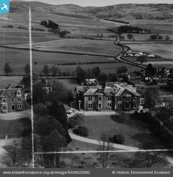
SAW022881 SCOTLAND (1949). Warriston School Holmpark, Ballplay Road, Moffat. An oblique aerial photograph taken facing east. This image has been produced from a crop marked print.
© Copyright OpenStreetMap contributors and licensed by the OpenStreetMap Foundation. 2024. Cartography is licensed as CC BY-SA.
Nearby Images (6)
SAW022581

SAW022881

SAW014698

SAW014741

SAW022583

SAW014710

Details
| Title | [SAW022881] Warriston School Holmpark, Ballplay Road, Moffat. An oblique aerial photograph taken facing east. This image has been produced from a crop marked print. |
| Reference | SAW022881 |
| Date | 1949 |
| Link | Canmore Collection item 1315174 |
| Place name | |
| Parish | CRATHIE AND BRAEMAR |
| District | KINCARDINE AND DEESIDE |
| Country | SCOTLAND |
| Easting / Northing | 326210, 794923 |
| Longitude / Latitude | -3.2161415554677, 57.039653502306 |
| National Grid Reference | NO262949 |
Pins
 John Wass |
Saturday 25th of April 2015 09:21:15 PM |


