
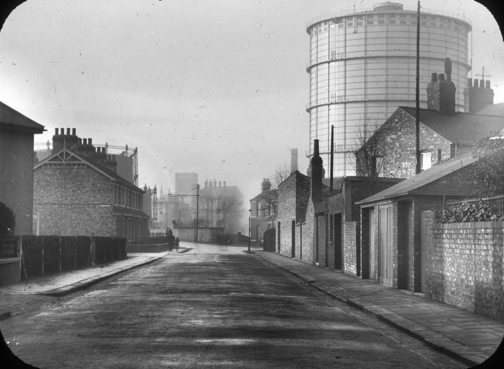
EPW062706 ENGLAND (1939). Bradford Road Gas Works, Manchester, 1939

© Copyright OpenStreetMap contributors and licensed by the OpenStreetMap Foundation. 2024. Cartography is licensed as CC BY-SA.
Nearby Images (8)
EPW062706

EPW062693

EPW062696

EPW062705

EPW062695

EPW062707

EPW062694

EPW042576
, Manchester, 1933")
Details
| Title | [EPW062706] Bradford Road Gas Works, Manchester, 1939 |
| Reference | EPW062706 |
| Date | 16-August-1939 |
| Link | |
| Place name | MANCHESTER |
| Parish | |
| District | |
| Country | ENGLAND |
| Easting / Northing | 386491, 398991 |
| Longitude / Latitude | -2.2036142686876, 53.48720816579 |
| National Grid Reference | SJ865990 |
Pins
 Tegels |
Wednesday 18th of October 2017 09:02:10 PM | |
 John W |
Tuesday 20th of December 2016 05:43:07 PM | |
John W |
Tuesday 20th of December 2016 05:42:06 PM | |
John W |
Tuesday 20th of December 2016 05:40:04 PM | |
Barney Rubble |
Sunday 18th of December 2016 09:11:58 PM | |
gwlr |
Sunday 18th of December 2016 10:22:38 AM | |
gwlr |
Sunday 18th of December 2016 10:21:40 AM | |
gwlr |
Sunday 18th of December 2016 10:20:45 AM | |
J.Smith |
Thursday 28th of August 2014 09:28:51 PM | |
J.Smith |
Thursday 28th of August 2014 09:27:44 PM |


