
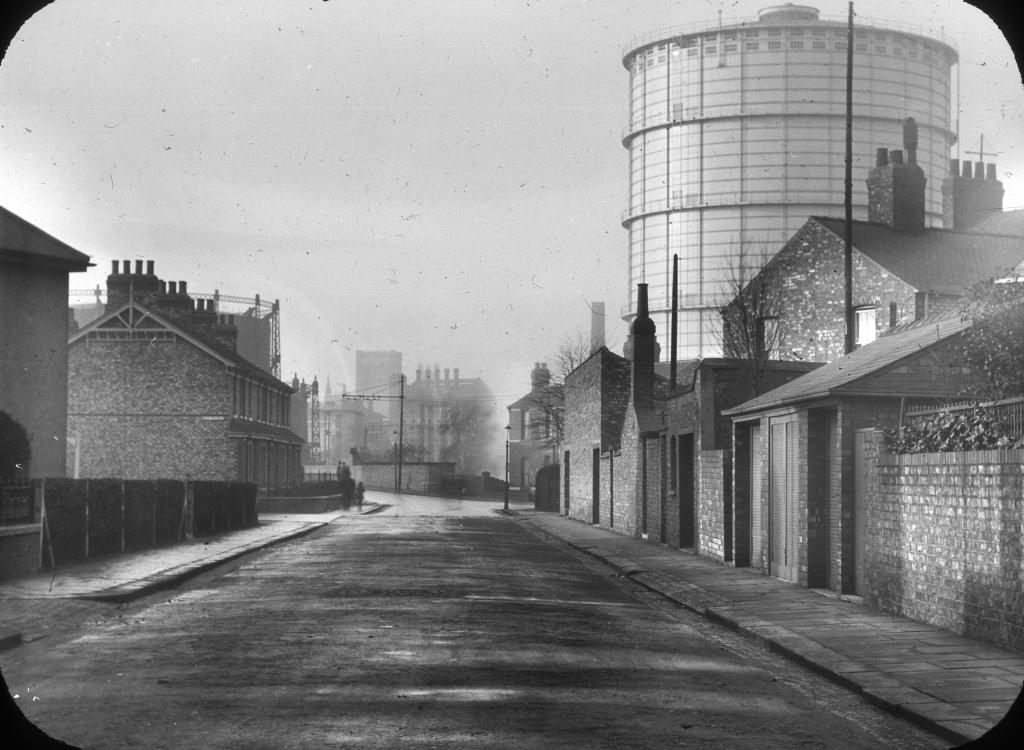
EPW062694 ENGLAND (1939). Bradford Road Gas Works and environs, Manchester, 1939

© Copyright OpenStreetMap contributors and licensed by the OpenStreetMap Foundation. 2024. Cartography is licensed as CC BY-SA.
Nearby Images (7)
EPW062694

EPW062696

EPW062693

EPW062705

EPW062706

EPW062707

EPW062695

Details
| Title | [EPW062694] Bradford Road Gas Works and environs, Manchester, 1939 |
| Reference | EPW062694 |
| Date | 16-August-1939 |
| Link | |
| Place name | MANCHESTER |
| Parish | |
| District | |
| Country | ENGLAND |
| Easting / Northing | 386610, 398890 |
| Longitude / Latitude | -2.2018163449733, 53.486303275765 |
| National Grid Reference | SJ866989 |
Pins
 ZabaZabaHey |
Tuesday 14th of March 2023 07:50:48 PM | |
ZabaZabaHey |
Tuesday 14th of March 2023 07:48:00 PM | |
 Tegels |
Wednesday 18th of October 2017 09:03:47 PM | |
J.Smith |
Thursday 28th of August 2014 09:09:31 PM | |
J.Smith |
Thursday 28th of August 2014 09:07:59 PM | |
J.Smith |
Thursday 28th of August 2014 09:06:10 PM |


