
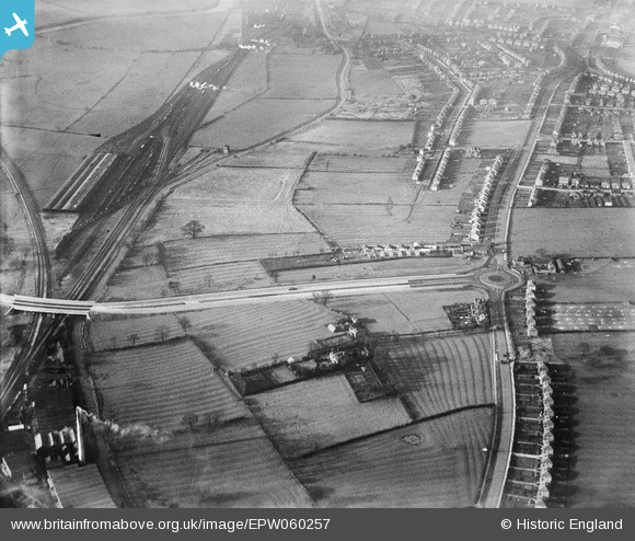
EPW060257 ENGLAND (1938). Spondon Junction, the A5111 (Raynesway), Derby Road and environs, Spondon, 1938
© Copyright OpenStreetMap contributors and licensed by the OpenStreetMap Foundation. 2024. Cartography is licensed as CC BY-SA.
Nearby Images (4)
EPW060257
, Derby Road and environs, Spondon, 1938")
EPW055799
 at Spondon Junction, The Poplars and environs, Cherrytree Hill, 1937")
EPW060254
, Derby Road and environs, Spondon, 1938")
EPW055811
 at Spondon Junction and environs, Cherrytree Hill, 1937")
Details
| Title | [EPW060257] Spondon Junction, the A5111 (Raynesway), Derby Road and environs, Spondon, 1938 |
| Reference | EPW060257 |
| Date | 1-December-1938 |
| Link | |
| Place name | SPONDON |
| Parish | |
| District | |
| Country | ENGLAND |
| Easting / Northing | 438816, 335662 |
| Longitude / Latitude | -1.4226622905712, 52.916656907359 |
| National Grid Reference | SK388357 |
Pins
 HelsyB |
Wednesday 31st of January 2024 07:35:34 PM | |
HelsyB |
Thursday 9th of November 2023 12:01:55 PM | |
 Peter Kazmierczak |
Sunday 22nd of September 2013 06:09:40 PM | |
Peter Kazmierczak |
Sunday 22nd of September 2013 06:08:29 PM | |
Peter Kazmierczak |
Sunday 22nd of September 2013 06:07:36 PM | |
Peter Kazmierczak |
Sunday 22nd of September 2013 06:06:49 PM | |
Triggy |
Saturday 17th of August 2013 10:28:57 PM | |
Triggy |
Saturday 17th of August 2013 10:27:35 PM | |
Triggy |
Saturday 17th of August 2013 10:25:54 PM | |
Triggy |
Saturday 17th of August 2013 10:24:11 PM | |
Triggy |
Saturday 17th of August 2013 10:23:21 PM | |
Triggy |
Saturday 17th of August 2013 10:15:34 PM | |
Triggy |
Saturday 17th of August 2013 10:10:15 PM | |
Triggy |
Saturday 17th of August 2013 10:08:22 PM | |
Triggy |
Saturday 17th of August 2013 10:07:11 PM |


