
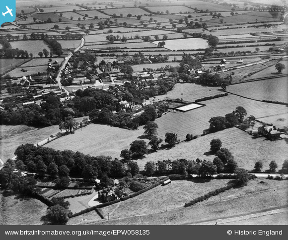
EPW058135 ENGLAND (1938). Wellow House and surrounding countryside, Wellow, from the north-west, 1938
© Copyright OpenStreetMap contributors and licensed by the OpenStreetMap Foundation. 2024. Cartography is licensed as CC BY-SA.
Nearby Images (11)
EPW058135

EPW058137

EPW058139

EPW058138

EPW058136

EPW058133

EPW058132

EPW058141

EPW058143

EPW058144

EPW058140

Details
| Title | [EPW058135] Wellow House and surrounding countryside, Wellow, from the north-west, 1938 |
| Reference | EPW058135 |
| Date | 19-July-1938 |
| Link | |
| Place name | WELLOW |
| Parish | WELLOW |
| District | |
| Country | ENGLAND |
| Easting / Northing | 466704, 366285 |
| Longitude / Latitude | -1.001575753948, 53.189181120889 |
| National Grid Reference | SK667663 |
Pins
 totoro |
Thursday 11th of May 2017 10:41:47 PM | |
totoro |
Thursday 11th of May 2017 10:37:58 PM | |
totoro |
Thursday 11th of May 2017 10:35:45 PM | |
totoro |
Thursday 11th of May 2017 10:35:30 PM |


