
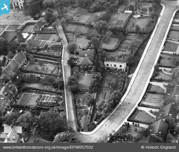
EPW057502 ENGLAND (1938). Houses at the junction of Highgate Road and Highgate Avenue, Walsall, 1938
© Copyright OpenStreetMap contributors and licensed by the OpenStreetMap Foundation. 2024. Cartography is licensed as CC BY-SA.
Nearby Images (6)
EPW057502

EPW057501

EPW057500

EPW057503

EPW005777

EPW022575

Details
| Title | [EPW057502] Houses at the junction of Highgate Road and Highgate Avenue, Walsall, 1938 |
| Reference | EPW057502 |
| Date | 9-June-1938 |
| Link | |
| Place name | WALSALL |
| Parish | |
| District | |
| Country | ENGLAND |
| Easting / Northing | 401778, 297546 |
| Longitude / Latitude | -1.9737604870134, 52.575370845165 |
| National Grid Reference | SP018975 |
Pins
Be the first to add a comment to this image!


