
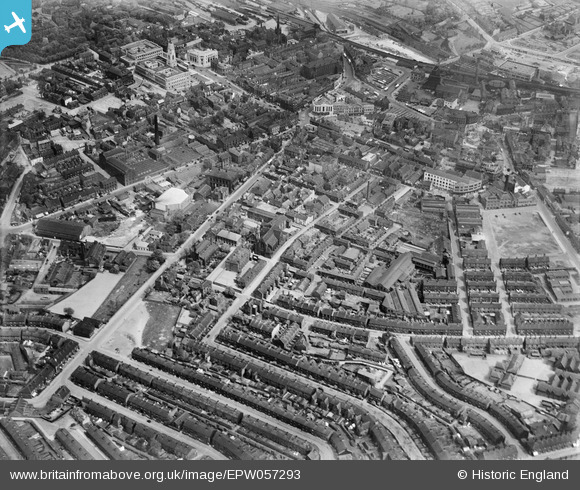
EPW057293 ENGLAND (1938). The town centre, Barnsley, 1938
© Copyright OpenStreetMap contributors and licensed by the OpenStreetMap Foundation. 2024. Cartography is licensed as CC BY-SA.
Nearby Images (17)
EPW057293

EAW009218

EAW009214

EAW009219

EAW009213

EAW009215

EAW009212

EAW009217

EAW009220

EAW009211

EAW009216

EPW048004

EPW021099

EPW055897

EPW057292

EPW021103

EPW021100

Details
| Title | [EPW057293] The town centre, Barnsley, 1938 |
| Reference | EPW057293 |
| Date | 25-May-1938 |
| Link | |
| Place name | BARNSLEY |
| Parish | |
| District | |
| Country | ENGLAND |
| Easting / Northing | 434298, 406134 |
| Longitude / Latitude | -1.4822713052048, 53.550472601073 |
| National Grid Reference | SE343061 |
Pins
Be the first to add a comment to this image!


