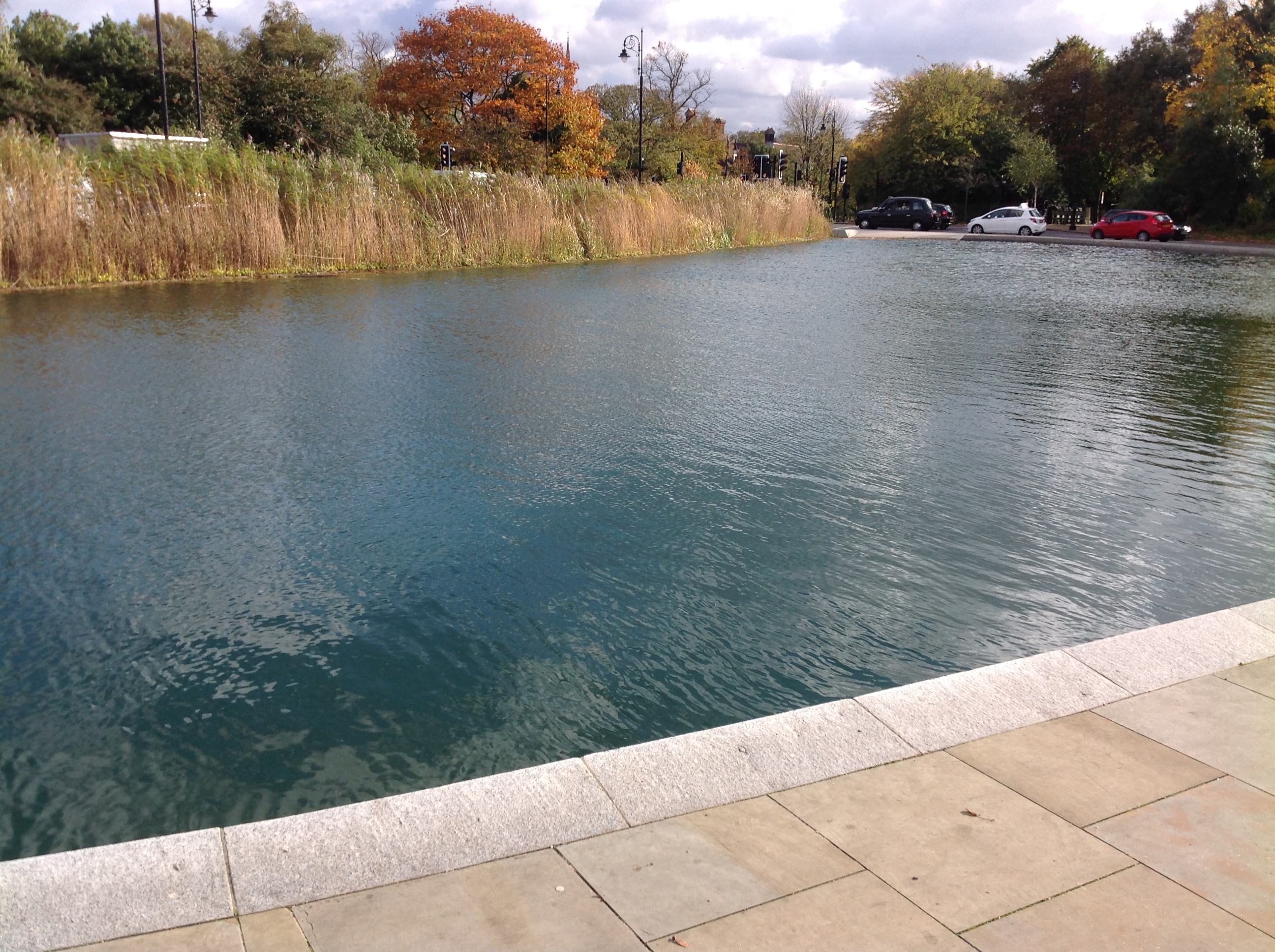
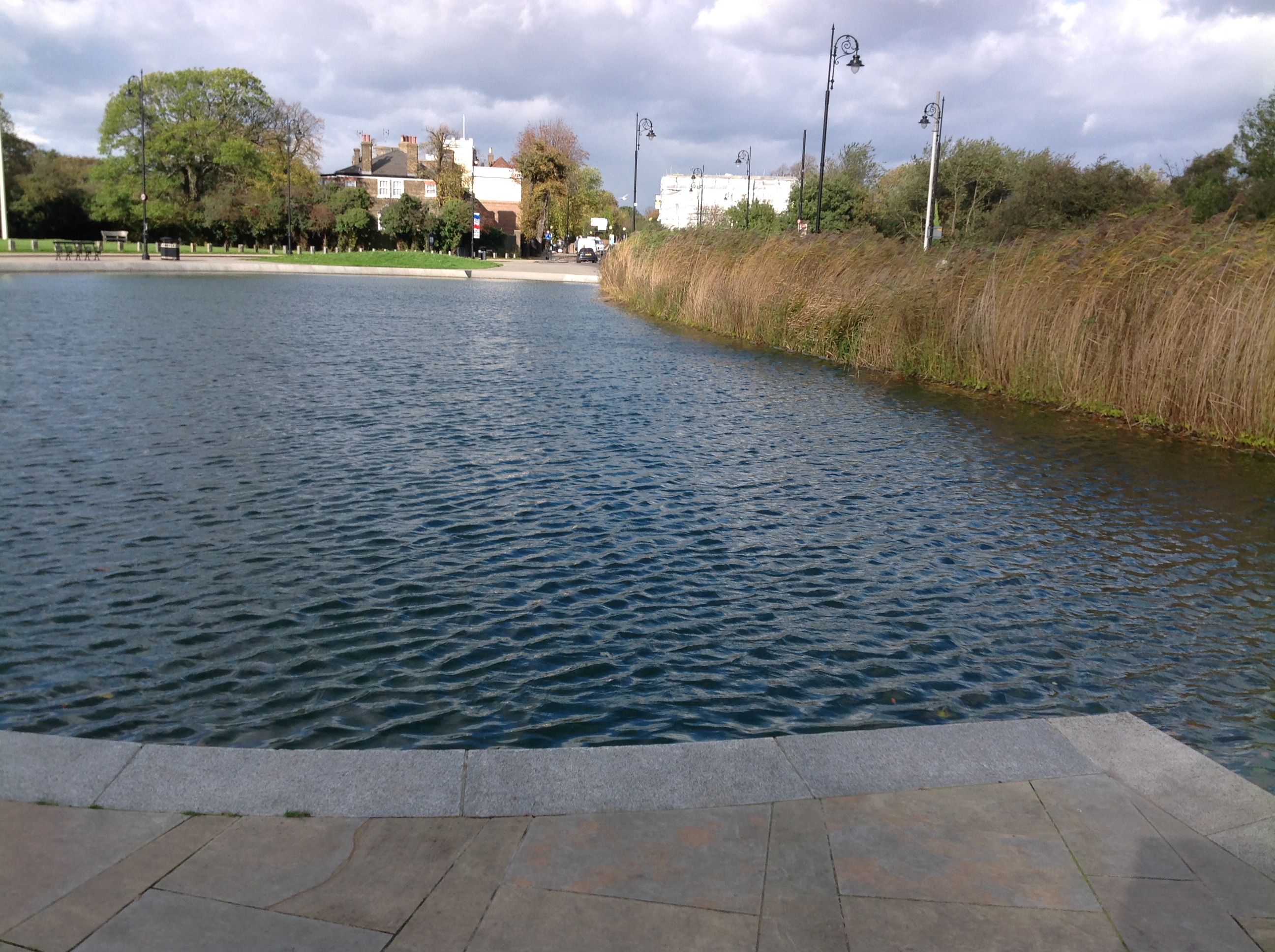
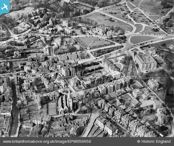
EPW056656 ENGLAND (1938). Whitestone Pond and environs, Hampstead Heath, 1938
© Copyright OpenStreetMap contributors and licensed by the OpenStreetMap Foundation. 2024. Cartography is licensed as CC BY-SA.
Nearby Images (22)
EPW056656

EAW000613

EAW000611

EAW000625

EAW000610

EPW056655

EPW026949

EPW028170

EPW011417

EAW014551

EAW014553

EPW000818

EPW009353

EPW056831

EAW000614

EPW026950

EPW056832

EPW020198

EPW020198
EAW015167

EPW020197

EPW020197
Details
| Title | [EPW056656] Whitestone Pond and environs, Hampstead Heath, 1938 |
| Reference | EPW056656 |
| Date | 30-March-1938 |
| Link | |
| Place name | HAMPSTEAD HEATH |
| Parish | |
| District | |
| Country | ENGLAND |
| Easting / Northing | 526375, 186140 |
| Longitude / Latitude | -0.17674987985426, 51.559488139954 |
| National Grid Reference | TQ264861 |