
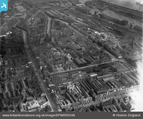
EPW055048 ENGLAND (1937). Edgar Street and environs, Kingston upon Hull, 1937. This image has been produced from a print affected by flare.
© Copyright OpenStreetMap contributors and licensed by the OpenStreetMap Foundation. 2024. Cartography is licensed as CC BY-SA.
Nearby Images (29)
EPW055048

EAW035535

EAW031240

EAW043298

EAW035534

EAW031236

EAW035536

EAW035532

EAW031233

EAW043293

EAW031235

EAW031241

EAW035531

EAW031239

EAW031234

EAW035530

EAW031237

EAW043300

EAW031238

EAW035528

EAW043299

EAW043297

EPW009398

EAW043296

EAW004513

EAW043294

EAW035529

EAW035533

EPW009399

Details
| Title | [EPW055048] Edgar Street and environs, Kingston upon Hull, 1937. This image has been produced from a print affected by flare. |
| Reference | EPW055048 |
| Date | August-1937 |
| Link | |
| Place name | KINGSTON UPON HULL |
| Parish | |
| District | |
| Country | ENGLAND |
| Easting / Northing | 508802, 427991 |
| Longitude / Latitude | -0.35031928880063, 53.736716755706 |
| National Grid Reference | TA088280 |
Pins
 bill@kinetic.karoo.co.uk |
Friday 16th of December 2016 11:46:58 AM | |
John Wass |
Friday 3rd of April 2015 09:39:40 PM | |
CartoonHead |
Sunday 23rd of November 2014 08:11:46 PM | |
CartoonHead |
Sunday 23rd of November 2014 08:06:52 PM |


