
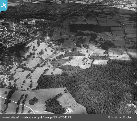
EPW054173 ENGLAND (1937). Chalfont Park, Chalfont St Peter, from the south-east, 1937
© Copyright OpenStreetMap contributors and licensed by the OpenStreetMap Foundation. 2024. Cartography is licensed as CC BY-SA.
Nearby Images (4)
EPW054173

EPW054174

EPW054171

EPW054163

Details
| Title | [EPW054173] Chalfont Park, Chalfont St Peter, from the south-east, 1937 |
| Reference | EPW054173 |
| Date | 8-July-1937 |
| Link | |
| Place name | CHALFONT ST PETER |
| Parish | CHALFONT ST. PETER |
| District | |
| Country | ENGLAND |
| Easting / Northing | 501356, 189266 |
| Longitude / Latitude | -0.53666195359115, 51.592641358442 |
| National Grid Reference | TQ014893 |
Pins
Be the first to add a comment to this image!


