
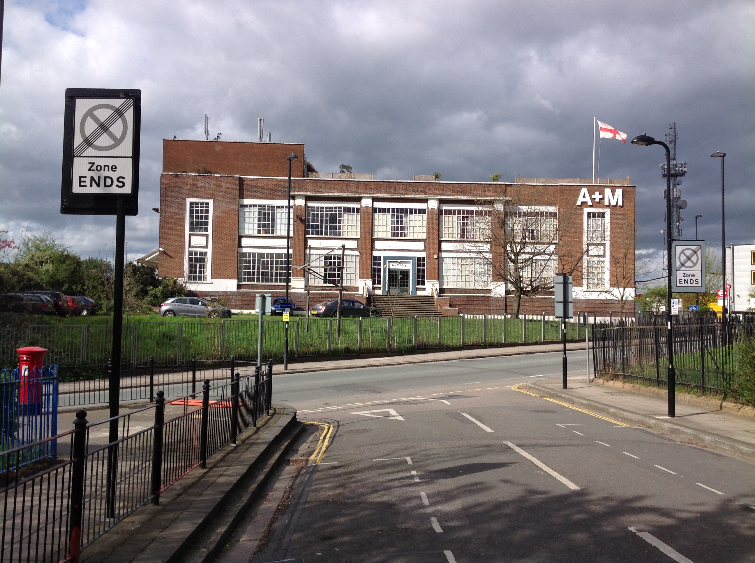
EPW054158 ENGLAND (1937). The Bush Industrial Estate, North Acton, from the east, 1937

© Copyright OpenStreetMap contributors and licensed by the OpenStreetMap Foundation. 2024. Cartography is licensed as CC BY-SA.
Nearby Images (48)
EAW009108

EPW046955

EPW046953

EPW054162

EAW009101

EPW054160

EAW009106

EPW046952

EPW054157

EPW034966

EPW054156

EPW034968

EPW034968
EPW054159

EAW052500

EPW046957

EAW009107

EPW062166

EPW046958

EPW034965

EPW034965
EPW046956

EPW054161

EAW009104

EAW009099

EPW046954

EPW034967

EPW034967
EPW034964

EPW034964
EPW034969

EPW034969
EPW062169

EAW009103

EAW009105

EAW009109

EAW052501

EAW052503

EAW052497

EAW052499

EAW051484

EAW051488

EAW052495

EAW052502

EAW051487

EAW051490

EAW051489

EAW051485

Details
| Title | [EPW054158] The Bush Industrial Estate, North Acton, from the east, 1937 |
| Reference | EPW054158 |
| Date | 8-July-1937 |
| Link | |
| Place name | NORTH ACTON |
| Parish | |
| District | |
| Country | ENGLAND |
| Easting / Northing | 521140, 182499 |
| Longitude / Latitude | -0.25349185869027, 51.527910767433 |
| National Grid Reference | TQ211825 |
Pins
User Comment Contributions
 Vaseline Works on Victoria Road A4000 as marked on the 1935 1:2500 photographed on 08/04/2014 |
 Class31 |
Wednesday 9th of April 2014 10:48:58 AM |


