
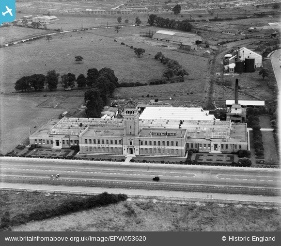
EPW053620 ENGLAND (1937). The Aladdin Building, Greenford, from the south-west, 1937
© Copyright OpenStreetMap contributors and licensed by the OpenStreetMap Foundation. 2024. Cartography is licensed as CC BY-SA.
Nearby Images (22)
EPW053620

EPW038796
, Greenford, 1932")
EPW038797
, Greenford, 1932")
EPW053621

EPW053619

EPW038793
, Greenford, 1932")
EPW038795
, Greenford, 1932")
EPW053622

EPW053618

EPW038798
 and Greenford Trotting Track, Greenford, 1932")
EPR000604
, Greenford, 1935")
EPW038794
 and Greenford Trotting Track, Greenford, 1932")
EPW053625

EPW053623

EPW053617

EPW053624

EPW059347
, Greenford, 1938")
EPR000029
, Greenford, 1934")
EPR000028

EPW061233

EPW034570

EPW059346
 and environs, Greenford, 1938")
Details
| Title | [EPW053620] The Aladdin Building, Greenford, from the south-west, 1937 |
| Reference | EPW053620 |
| Date | 12-June-1937 |
| Link | |
| Place name | GREENFORD |
| Parish | |
| District | |
| Country | ENGLAND |
| Easting / Northing | 513773, 183536 |
| Longitude / Latitude | -0.3593203811651, 51.538764852635 |
| National Grid Reference | TQ138835 |
Pins
Be the first to add a comment to this image!


