
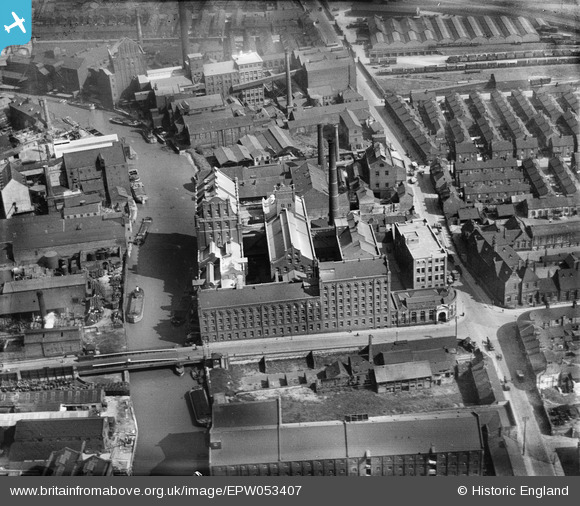
EPW053407 ENGLAND (1937). Swan Flour Mills, Sculcoates Bridge and environs, Kingston upon Hull, 1937
© Copyright OpenStreetMap contributors and licensed by the OpenStreetMap Foundation. 2024. Cartography is licensed as CC BY-SA.
Nearby Images (23)
EPW053407

EPW053410

EPW053409

EPW053412

EPW053413

EPW053411

EAW010314

EAW010313

EAW010319

EAW010320

EAW010311

EAW010317

EAW010312

EAW010310

EAW010315

EAW010318

EAW010316

EAW010309

EPW036523

EPW036531

EPW009397

EPW012694

EPW036536

Details
| Title | [EPW053407] Swan Flour Mills, Sculcoates Bridge and environs, Kingston upon Hull, 1937 |
| Reference | EPW053407 |
| Date | 31-May-1937 |
| Link | |
| Place name | KINGSTON UPON HULL |
| Parish | |
| District | |
| Country | ENGLAND |
| Easting / Northing | 510324, 429988 |
| Longitude / Latitude | -0.32654011053308, 53.754340517355 |
| National Grid Reference | TA103300 |
Pins
 John Wass |
Tuesday 23rd of September 2014 04:34:31 PM | |
CartoonHead |
Monday 19th of August 2013 08:36:08 PM | |
This is actually Chapman Street, Cleveland Street runs across at right angles just where the cyclist is turning left. |
John Wass |
Tuesday 19th of August 2014 04:47:42 PM |


