
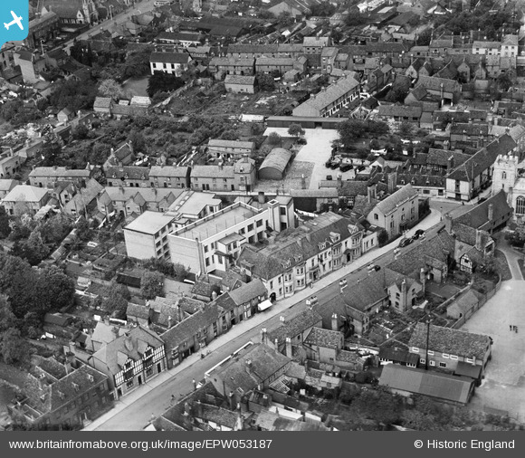
EPW053187 ENGLAND (1937). Church Street, Stratford-upon-Avon, 1937
© Copyright OpenStreetMap contributors and licensed by the OpenStreetMap Foundation. 2024. Cartography is licensed as CC BY-SA.
Nearby Images (11)
EPW053187

EPW053184

EPW053186

EPW053183

EPW053185

EPW026842

EAW013455

EPW001322

EPW053205

EAW013456

EAW013457

Details
| Title | [EPW053187] Church Street, Stratford-upon-Avon, 1937 |
| Reference | EPW053187 |
| Date | 24-May-1937 |
| Link | |
| Place name | STRATFORD-UPON-AVON |
| Parish | STRATFORD-UPON-AVON |
| District | |
| Country | ENGLAND |
| Easting / Northing | 419997, 254716 |
| Longitude / Latitude | -1.7074451781985, 52.189919884892 |
| National Grid Reference | SP200547 |
Pins
Be the first to add a comment to this image!


