
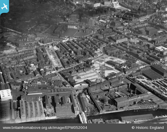
EPW052004 ENGLAND (1936). The area around Wellington Street and West Street, Leeds, 1936. This image has been produced from a print.
© Copyright OpenStreetMap contributors and licensed by the OpenStreetMap Foundation. 2024. Cartography is licensed as CC BY-SA.
Nearby Images (9)
EPW052004

EPW052003

EAW015744

EPW052002

EPW052001

EAW015742

EPW052005

EPW052007

EPW052006

Details
| Title | [EPW052004] The area around Wellington Street and West Street, Leeds, 1936. This image has been produced from a print. |
| Reference | EPW052004 |
| Date | October-1936 |
| Link | |
| Place name | LEEDS |
| Parish | |
| District | |
| Country | ENGLAND |
| Easting / Northing | 429155, 433668 |
| Longitude / Latitude | -1.5573150325058, 53.798284690168 |
| National Grid Reference | SE292337 |
Pins
Be the first to add a comment to this image!


