
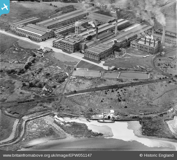
EPW051147 ENGLAND (1936). Edward Lloyd Ltd Kemsley Paper Mill, Kemsley, 1936
© Copyright OpenStreetMap contributors and licensed by the OpenStreetMap Foundation. 2024. Cartography is licensed as CC BY-SA.
Nearby Images (10)
EPW051147

EPW051142

EPW032090

EPW051146

EPW051143

EPW032068

EPW051144

EPW051141

EPW032066

EPW051145

Details
| Title | [EPW051147] Edward Lloyd Ltd Kemsley Paper Mill, Kemsley, 1936 |
| Reference | EPW051147 |
| Date | July-1936 |
| Link | |
| Place name | KEMSLEY |
| Parish | |
| District | |
| Country | ENGLAND |
| Easting / Northing | 591965, 166162 |
| Longitude / Latitude | 0.75771029017614, 51.361538498926 |
| National Grid Reference | TQ920662 |
Pins
 aveling14044 |
Sunday 19th of January 2014 10:05:17 AM |


