
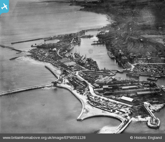
EPW051128 ENGLAND (1936). Hudson Dock, Sunderland, 1936. This image has been produced from copy-negative.
© Copyright OpenStreetMap contributors and licensed by the OpenStreetMap Foundation. 2024. Cartography is licensed as CC BY-SA.
Nearby Images (20)
EPW051128

EAW003176

EAW003170

EAW003171

EAW003182

EAW003183

EPW020546

EAW003177

EAW003184

EAW003172

EAW003178

EPW020536

EAW003180

EAW003175

EPW020539

EAW003179

EAW001017

EPW020533

EAW001018

EAW003181

Details
| Title | [EPW051128] Hudson Dock, Sunderland, 1936. This image has been produced from copy-negative. |
| Reference | EPW051128 |
| Date | July-1936 |
| Link | |
| Place name | SUNDERLAND |
| Parish | |
| District | |
| Country | ENGLAND |
| Easting / Northing | 441130, 557655 |
| Longitude / Latitude | -1.3583672044652, 54.911825175241 |
| National Grid Reference | NZ411577 |
Pins
Be the first to add a comment to this image!


