
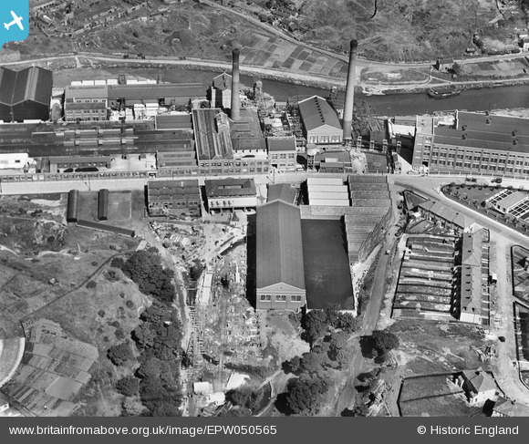
EPW050565 ENGLAND (1936). St Anne's Board Mill Co Ltd Works, Bristol, 1936
© Copyright OpenStreetMap contributors and licensed by the OpenStreetMap Foundation. 2024. Cartography is licensed as CC BY-SA.
Nearby Images (27)
EPW050565

EPW060112

EPW050571

EPW060111

EPW060113

EPW060106

EPW050465

EPW060114

EPW060105

EPW005538

EPW050468

EPW050566

EPW050570

EPW050567

EPW060109

EPW060115

EPW050469

EPW050561

EPW060110

EPW050557

EPW050562

EPW050470

EPW060107

EPW050559

EPW050572

EPW050569

EPW050464

Details
| Title | [EPW050565] St Anne's Board Mill Co Ltd Works, Bristol, 1936 |
| Reference | EPW050565 |
| Date | June-1936 |
| Link | |
| Place name | BRISTOL |
| Parish | |
| District | |
| Country | ENGLAND |
| Easting / Northing | 362109, 172841 |
| Longitude / Latitude | -2.5453706090281, 51.452793175101 |
| National Grid Reference | ST621728 |
Pins
 Alan |
Monday 15th of December 2014 11:32:15 PM |


