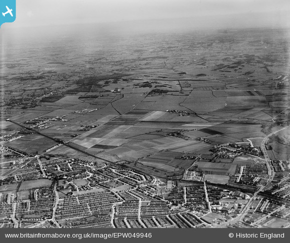
EPW049946 ENGLAND (1936). Countryside to the north-east of Newbury Park Station, Aldborough Hatch, from the south-west, 1936

© Copyright OpenStreetMap contributors and licensed by the OpenStreetMap Foundation. 2024. Cartography is licensed as CC BY-SA.

Details

Title [EPW049946] Countryside to the north-east of Newbury Park Station, Aldborough Hatch, from the south-west, 1936
Reference EPW049946
Date April-1936
Link
Place name ALDBOROUGH HATCH
Parish
District
Country ENGLAND
Easting / Northing 545461, 190102
Longitude / Latitude 0.10006457830474, 51.590492523726
National Grid Reference TQ455901

Pins

Barkingside terminus for trolleybus route 691. With the conversion from trams opportunity was taken to extend the service half a mile along the High Street to the newly constructed roundabout at the junctions of Fulwell Avenue, Fencepiece Road, Forest Road, and Craven Gardens. The service commenced on 6th February 1938 and ran untill 18th August 1959.

Nowy Paul
Saturday 15th of December 2018 04:48:09 PM
Tram terminus "Barkingside" at the point where Tanners Lane met Cranbrook Road outside The Old Chequers PH and H.L. Hawes And Sons Undertakers. A feature of the sevice provided, between 1925 and 1931, was that the post was collected at 9pm weekdays, 8.20pm Sundays, and the red painted box (attached to the dashboard of the car) returned to the sorting office in Ilford with the tram.

Nowy Paul
Saturday 15th of December 2018 04:38:10 PM
Horns Tavern. Terminal for the short Lived trolleybus route 692 which ran on Saturdays only between 6th February and 3rd December 1938. To turn, the trolleybuses ran down and turned into Buntingbridge Road, back up to Birbeck Road, and turn into Horns Road once more.

Nowy Paul
Saturday 15th of December 2018 04:22:13 PM