
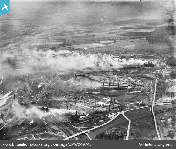
EPW049743 ENGLAND (1936). The Steelworks, Scunthorpe, from the west, 1936
© Copyright OpenStreetMap contributors and licensed by the OpenStreetMap Foundation. 2024. Cartography is licensed as CC BY-SA.
Nearby Images (3)
EPW049743

EPW052032

EPW052033

Details
| Title | [EPW049743] The Steelworks, Scunthorpe, from the west, 1936 |
| Reference | EPW049743 |
| Date | March-1936 |
| Link | |
| Place name | SCUNTHORPE |
| Parish | |
| District | |
| Country | ENGLAND |
| Easting / Northing | 490879, 411115 |
| Longitude / Latitude | -0.62691633598015, 53.58849054164 |
| National Grid Reference | SE909111 |


