
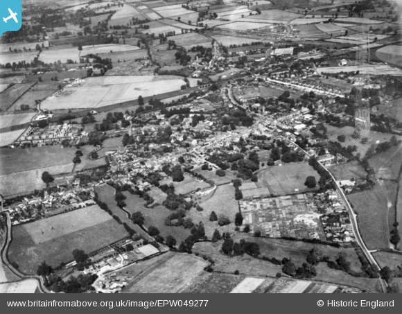
EPW049277 ENGLAND (1935). The town, Witham, 1935. This image has been produced from a copy-negative.
© Copyright OpenStreetMap contributors and licensed by the OpenStreetMap Foundation. 2024. Cartography is licensed as CC BY-SA.
Nearby Images (8)
EPW049277

EAW021826

EPW046364

EPW046365

EPW046367

EPW046366

EAW021827

EAW021825

Details
| Title | [EPW049277] The town, Witham, 1935. This image has been produced from a copy-negative. |
| Reference | EPW049277 |
| Date | September-1935 |
| Link | |
| Place name | WITHAM |
| Parish | WITHAM |
| District | |
| Country | ENGLAND |
| Easting / Northing | 582022, 214397 |
| Longitude / Latitude | 0.64004278002463, 51.798103075781 |
| National Grid Reference | TL820144 |
Pins
Be the first to add a comment to this image!


