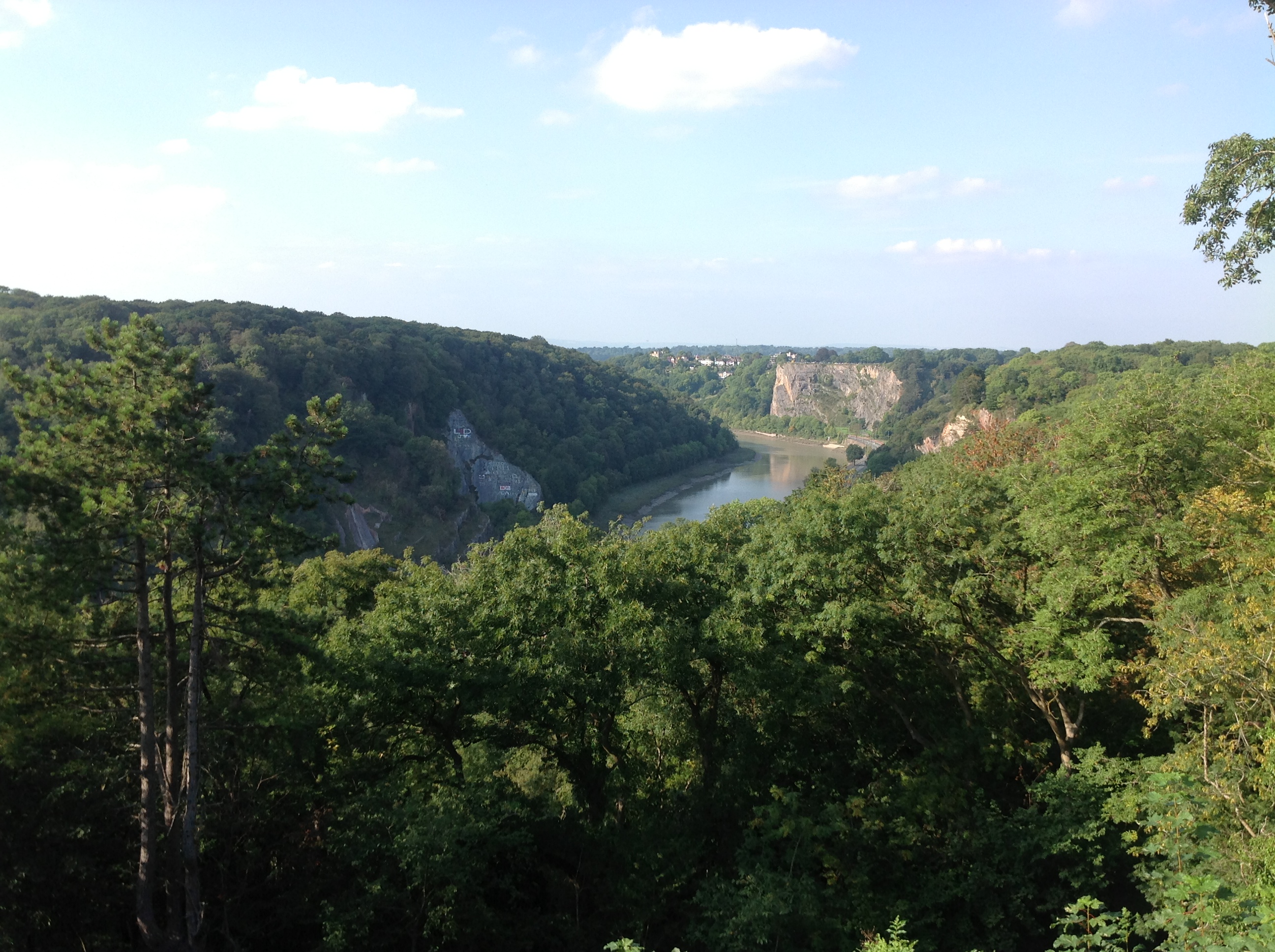
EPW048295 ENGLAND (1935). The suburb of Clifton alongside Clifton Down, Clifton, from the south, 1935

© Copyright OpenStreetMap contributors and licensed by the OpenStreetMap Foundation. 2024. Cartography is licensed as CC BY-SA.
Nearby Images (15)
EPW048295

EPW049535

EPW048299

EPW048292

EPW032526

EPW048298

EAW033327

EPW048291

EPW048293

EPW048294

EAW015138

EPW012024

EPW037150

EPW001274

EAW050560

Details
| Title | [EPW048295] The suburb of Clifton alongside Clifton Down, Clifton, from the south, 1935 |
| Reference | EPW048295 |
| Date | July-1935 |
| Link | |
| Place name | CLIFTON |
| Parish | |
| District | |
| Country | ENGLAND |
| Easting / Northing | 356726, 173362 |
| Longitude / Latitude | -2.6229080466778, 51.457092081566 |
| National Grid Reference | ST567734 |