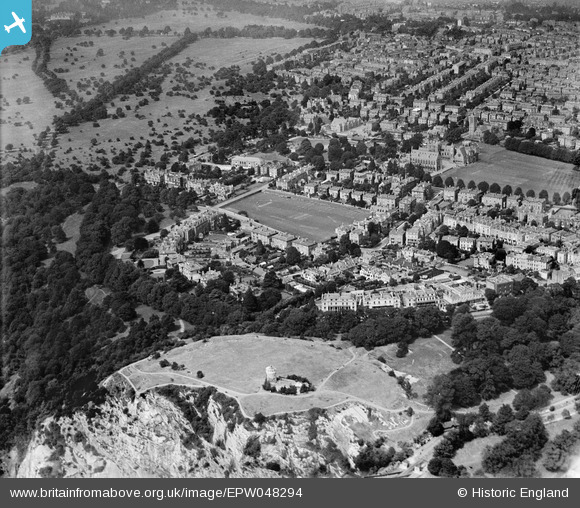
EPW048294 ENGLAND (1935). The Clifton Observatory, Observatory Hill and the surrounding residential area, Clifton, 1935
© Copyright OpenStreetMap contributors and licensed by the OpenStreetMap Foundation. 2024. Cartography is licensed as CC BY-SA.
Nearby Images (13)
EPW048294

EPW048291

EPW048298

EPW048290

EPW048293

EPW048297

EPW048296

EPW048292

EPW048300

EPW049533

EPW032530

EPW048295

EPW010231

Details
| Title | [EPW048294] The Clifton Observatory, Observatory Hill and the surrounding residential area, Clifton, 1935 |
| Reference | EPW048294 |
| Date | July-1935 |
| Link | |
| Place name | CLIFTON |
| Parish | |
| District | |
| Country | ENGLAND |
| Easting / Northing | 356704, 173611 |
| Longitude / Latitude | -2.623255200255, 51.459329416556 |
| National Grid Reference | ST567736 |
Pins
 Class31 |
Saturday 28th of December 2013 09:04:40 PM |