
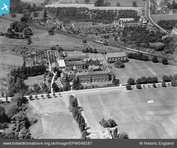
EPW048187 ENGLAND (1935). Dean Close Memorial School, Cheltenham, 1935
© Copyright OpenStreetMap contributors and licensed by the OpenStreetMap Foundation. 2024. Cartography is licensed as CC BY-SA.
Nearby Images (13)
EPW048187

EPW048186

EPW048189

EPR000394

EPW024133

EPW048182

EPW000172

EPW000176

EPW048183

EPW048184

EPW048188

EPW048185

EPW048200

Details
| Title | [EPW048187] Dean Close Memorial School, Cheltenham, 1935 |
| Reference | EPW048187 |
| Date | July-1935 |
| Link | |
| Place name | CHELTENHAM |
| Parish | |
| District | |
| Country | ENGLAND |
| Easting / Northing | 392900, 221575 |
| Longitude / Latitude | -2.1031847233851, 51.892244135594 |
| National Grid Reference | SO929216 |
Pins
Be the first to add a comment to this image!


