
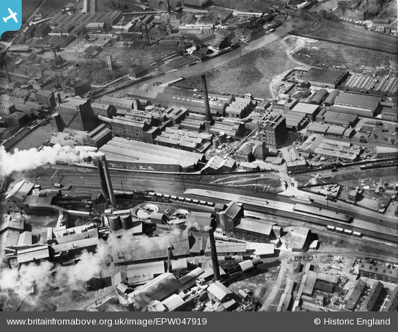
EPW047919 ENGLAND (1935). The British Extracting Company Works and environs, Stoneferry, 1935
© Copyright OpenStreetMap contributors and licensed by the OpenStreetMap Foundation. 2024. Cartography is licensed as CC BY-SA.
Nearby Images (22)
EPW047919

EPW047921

EPW047925

EPW047922

EPW047926

EPW047928

EPW047933

EPW047930

EPW047929

EPW047934

EPW047923

EPW047932

EPW047927

EPW047924

EPW047920

EPW047931

EPW010839

EPW034655

EPW036508

EPW034652

EPW036516

EPW036518

Details
| Title | [EPW047919] The British Extracting Company Works and environs, Stoneferry, 1935 |
| Reference | EPW047919 |
| Date | June-1935 |
| Link | |
| Place name | STONEFERRY |
| Parish | |
| District | |
| Country | ENGLAND |
| Easting / Northing | 509969, 430534 |
| Longitude / Latitude | -0.33172799151659, 53.759321507294 |
| National Grid Reference | TA100305 |
Pins
 John Wass |
Friday 28th of August 2015 11:27:30 AM | |
John Wass |
Saturday 1st of August 2015 09:12:12 PM | |
 Dylan Moore |
Monday 6th of May 2013 02:30:53 PM | |
Dylan Moore |
Monday 6th of May 2013 02:30:04 PM | |
Dylan Moore |
Monday 6th of May 2013 02:29:49 PM | |
Dylan Moore |
Saturday 4th of May 2013 01:06:49 AM | |
Dylan Moore |
Saturday 4th of May 2013 01:05:58 AM |


