
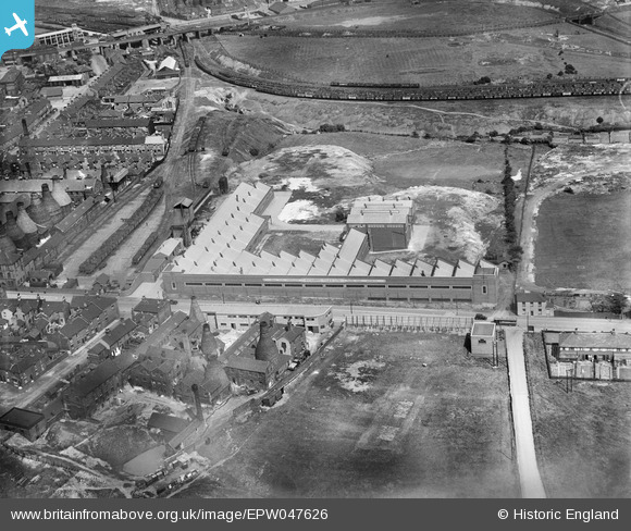
EPW047626 ENGLAND (1935). Brownhills Tile Works, Tunstall, 1935
© Copyright OpenStreetMap contributors and licensed by the OpenStreetMap Foundation. 2024. Cartography is licensed as CC BY-SA.
Nearby Images (25)
EPW047626

EAW028408

EAW028407

EAW028410

EAW028404

EAW027946

EPW047627

EAW028405

EAW027940

EPW047624

EAW027942

EPW047628

EAW027944

EAW028402

EPW047625

EAW027941

EAW027947

EAW027945

EPW047622

EAW028403

EPW047623

EAW027943

EAW028406

EAW028409

EPW038501

Details
| Title | [EPW047626] Brownhills Tile Works, Tunstall, 1935 |
| Reference | EPW047626 |
| Date | June-1935 |
| Link | |
| Place name | TUNSTALL |
| Parish | |
| District | |
| Country | ENGLAND |
| Easting / Northing | 386031, 350682 |
| Longitude / Latitude | -2.2084247061731, 53.052910381816 |
| National Grid Reference | SJ860507 |
Pins
 bescotbeast |
Wednesday 15th of January 2014 02:58:02 PM | |
bescotbeast |
Wednesday 15th of January 2014 02:56:39 PM |
User Comment Contributions
I used to live in one of the houses opposite the coal wharf it was a small shop |
 Jacquie Cross |
Wednesday 15th of January 2014 09:00:15 AM |


