
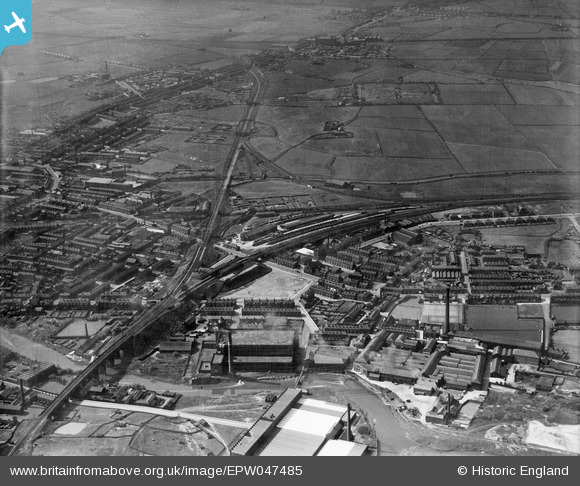
EPW047485 ENGLAND (1935). West Junction, North Junction and environs, Radcliffe, from the south-east, 1935
© Copyright OpenStreetMap contributors and licensed by the OpenStreetMap Foundation. 2024. Cartography is licensed as CC BY-SA.
Nearby Images (10)
EPW047485

EAW008442

EAW008447

EPW048654

EAW008445

EPW048652

EPW048655

EPW048651

EPW048647

EPW048649

Details
| Title | [EPW047485] West Junction, North Junction and environs, Radcliffe, from the south-east, 1935 |
| Reference | EPW047485 |
| Date | May-1935 |
| Link | |
| Place name | RADCLIFFE |
| Parish | |
| District | |
| Country | ENGLAND |
| Easting / Northing | 378965, 407372 |
| Longitude / Latitude | -2.3176113382096, 53.562300313175 |
| National Grid Reference | SD790074 |
Pins
 Barney Rubble |
Monday 7th of December 2020 11:47:44 AM | |
K |
Wednesday 15th of January 2020 10:58:55 PM | |
K |
Wednesday 15th of January 2020 10:58:33 PM | |
K |
Wednesday 15th of January 2020 10:56:15 PM | |
K |
Wednesday 15th of January 2020 10:54:00 PM | |
K |
Wednesday 15th of January 2020 10:52:30 PM |


